Aerial survey and geospatial services.
Airborne data acquisition, mapping and geospatial information, scoped to each site and set of objectives.
Scope and availability. The services below describe what METARSURVEY is setting up to offer. Each is marked with its capability status. Aircraft, sensors, processing and approvals are confirmed for each project before work is agreed.
Service 01
Airborne Survey
Capability status: to be confirmed
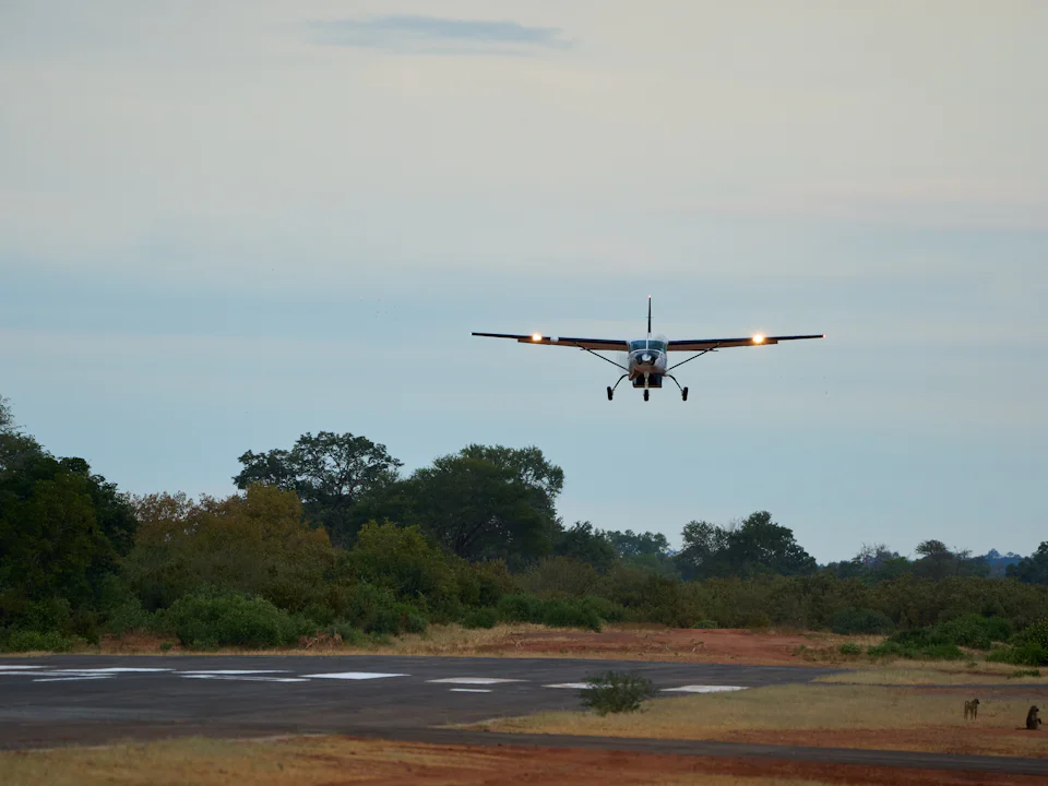
An airborne survey collects data from an aircraft flown on a planned pattern over the project area. A single mission can cover ground that would take a field team much longer to reach, subject to the aircraft, equipment and project specification.
Typical applications
- Baseline records of large sites
- Regional mapping programmes
- Project areas with limited ground access
- Repeat coverage for comparison over time
Potential deliverables
- Aerial imagery
- Orthorectified image mosaics
- Flight and coverage reports
Deliverables depend on project scope, aircraft, sensors and conditions.
Discuss your requirements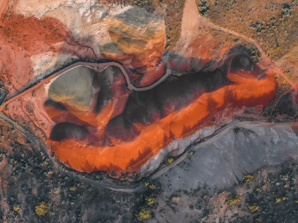
Service 02
Mining & Mineral Exploration Mapping
Capability status: to be confirmed
Aerial mapping gives mining and exploration teams a consistent picture of the ground surface across a licence area or operating site. It supports planning and interpretation by your geologists and engineers. It does not, on its own, identify commercially viable mineral deposits.
Typical applications
- Exploration licence and tenement areas
- Site assessment and pre-feasibility work
- Pit, stockpile and haul-road mapping
- Access and infrastructure planning
Potential deliverables
- Site-wide orthomosaics
- Surface and elevation models
- Base maps for geological and engineering teams
Deliverables depend on project scope, aircraft, sensors and conditions.
Discuss your requirements
Service 03
Terrain & Topographic Mapping
Capability status: to be confirmed
Terrain mapping represents the shape of the ground: elevation, slope and surface features. The outputs, and the accuracy they can support, depend on the acquisition method and processing chosen for the project.
Typical applications
- Engineering and infrastructure design
- Drainage and catchment analysis
- Access road and corridor planning
- Volume and earthworks estimates
Potential deliverables
- Digital surface and terrain models
- Contour sets
- Topographic base maps
Deliverables depend on project scope, aircraft, sensors and conditions.
Discuss your requirements
Service 04
Remote Sensing & Geospatial Data
Capability status: to be confirmed
Remote sensing records information about the surface from the air. Processed into geospatial layers, it helps clients understand a site and compare conditions over time. Specific sensors, spectral capabilities and analytical products will be listed here once confirmed.
Typical applications
- Land cover and surface conditions
- Environmental baseline studies
- Change detection between surveys
- Inputs to GIS and planning systems
Potential deliverables
- GIS-ready layers in the client's coordinate system
- Sensor-specific products (to be confirmed)
Deliverables depend on project scope, aircraft, sensors and conditions.
Discuss your requirements
Service 05
Large-Area & Remote-Site Survey
Capability status: to be confirmed
Where a project covers a large area, or a site is remote, aerial acquisition can reduce the time and logistics involved in collecting consistent data. We plan these projects around distance, airfields, permissions and weather across Asia and Africa.
Typical applications
- Regional and multi-site programmes
- Sites without reliable road access
- Programmes spanning more than one country
- Time-critical data capture
Potential deliverables
- Consistent datasets across the full area
- Mosaics and models at agreed specification
- Project and coverage reporting
Deliverables depend on project scope, aircraft, sensors and conditions.
Discuss your requirementsProject enquiries
Not sure which service fits?
Describe the site and what you need to know. We will recommend an approach and explain what it can and cannot deliver.