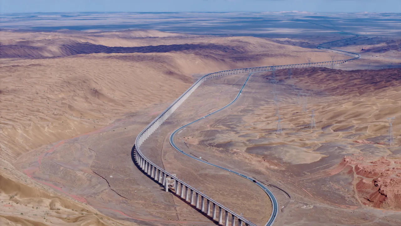
Industries and applications.
The sectors where aerial survey and geospatial information can support planning and decisions.
Target applications
Where aerial data adds value.
These are the markets we are focused on. They describe where our services apply, not a list of completed projects.
-
 Target application
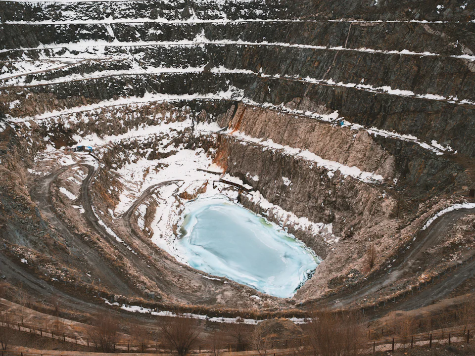
Mining and mineral exploration
Site-wide mapping for exploration programmes, mine planning and operations.
-
 Target application
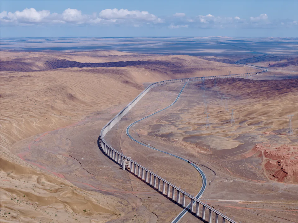
Infrastructure and engineering
Terrain and corridor information for route selection, design and construction.
-
 Target application
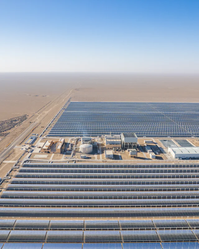
Energy and natural resources
Large-area mapping for energy sites, pipelines and resource concessions.
-
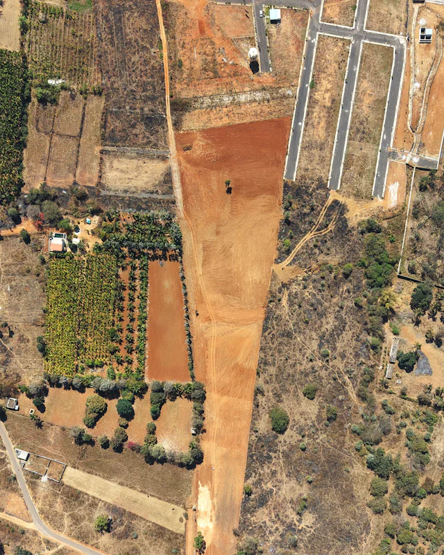 Target application
Land development and site assessment
Consistent base mapping for large-scale land and site assessment.
-
 Target application
Environmental and terrain assessment
Surface and land-cover information for baseline studies, where technically appropriate.
Project enquiries
Discuss a project with our team.
Tell us about the site, the area and the information you need. We will come back to you to talk through scope, method and timing.