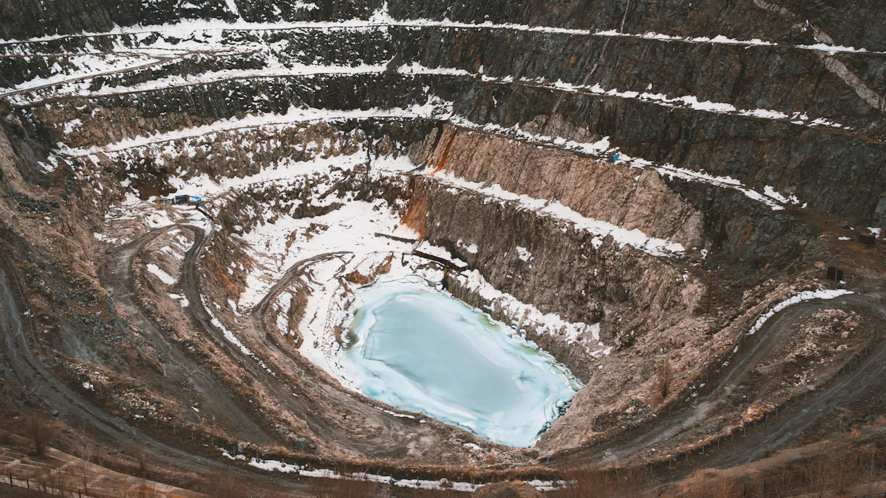
Aerial survey and mapping for mining and mineral exploration.
Site information for mining companies, exploration businesses, mine operators and their engineering and consulting partners.
What mining teams need
Practical information about the ground.
Mining and exploration decisions depend on knowing the site. Aerial survey is one of the most efficient ways to map a large or remote one.
- 01
Understand large or remote sites
A consistent view across a whole licence area, including ground that is slow to reach on foot or by vehicle.
- 02
Terrain and surface mapping
Elevation and surface information for pit design, drainage, access and infrastructure planning.
- 03
Support exploration and site assessment
Base mapping that geologists and consultants can use alongside their own field data.
- 04
Capture information for planning
Georeferenced data in your coordinate system, ready for mine planning and GIS software.
- 05
Repeat surveys and monitoring
Surveys repeated to the same specification, where appropriate, so conditions can be compared over time.
- 06
Consistent site information
One dataset for the whole team, from the board to the site office.
From acquisition to information
Three distinct stages.
Aerial acquisition, geospatial processing and geological interpretation are different disciplines. We are clear about which one each output comes from.
- 01 · Airborne acquisition
Collect the data
The aircraft flies the agreed survey pattern and records data with the sensors specified for the project.
- 02 · Geospatial processing
Turn it into maps and models
Raw data is processed, checked and turned into georeferenced mosaics, surface models and map layers.
- 03 · Information delivered
Use it to decide
Your geologists, engineers and planners interpret the outputs alongside their own field data and models.
Example workflow
A mining survey, step by step.
Deliverables depend on the scope, equipment, conditions and technical specification of each project.
Define
Agree the site and the survey objectives.
Method
Establish the appropriate acquisition methodology.
Plan
Plan the mission, subject to regulatory and operational requirements.
Acquire
Fly the survey and acquire the agreed aerial data.
Process
Process the data and validate it against the specification.
Deliver
Deliver the agreed mapping products and project outputs.
Who it is for
Clear for executives. Specific for survey teams.
For mining executives
- A defined scope, timeframe and set of deliverables before work starts
- Site information that supports investment and planning decisions
- One accountable team from planning to delivery
For survey and exploration managers
- Acquisition method chosen for the objective, not the other way round
- Outputs in your coordinate system and file formats
- Processing and validation steps documented with the delivery
Asia and Africa
Built for remote mining regions.
Many exploration areas in Asia and Africa are large, remote and served by limited infrastructure. That is where aerial survey is most useful.
We plan around distance, airfields, permissions and the seasons, and we tell you early if a site or timeframe is not realistic.
Geographic coverage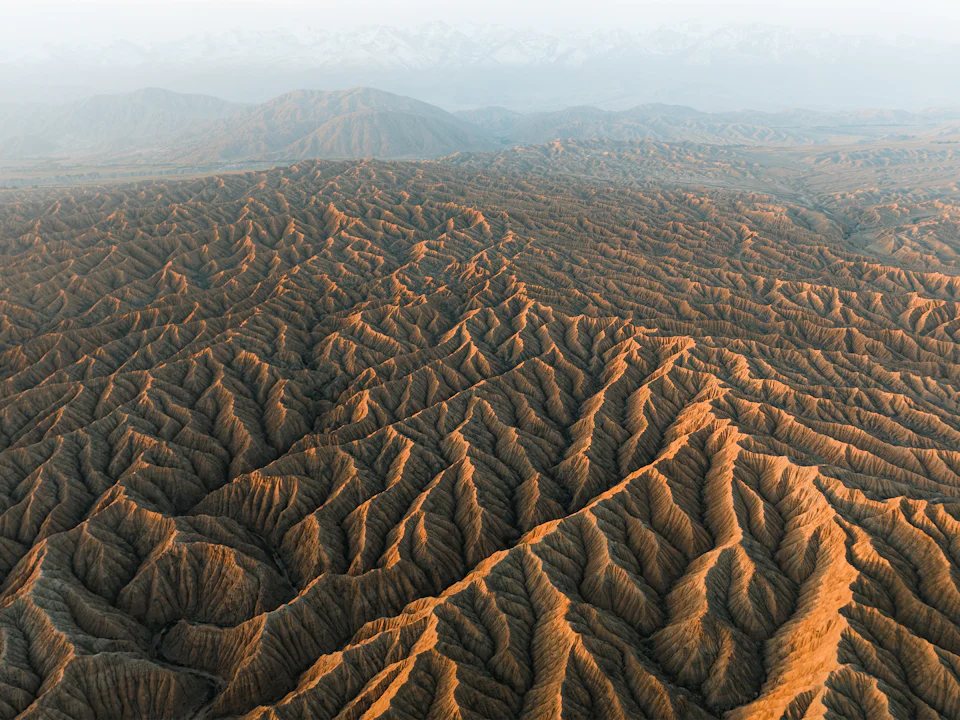
Project enquiries
Planning an exploration or mining survey?
Share the licence area or site, your objectives and your timeframe. We will propose a methodology and explain the outputs it can support.