
Aerial survey · Dubai · Asia · Africa
See further. Map smarter. Explore with confidence.
METARSURVEY delivers aviation-led aerial survey and geospatial intelligence for mining, exploration and terrain mapping projects across Asia and Africa.
About METARSURVEY
An aviation-led aerial survey company, based in Dubai.
We combine worldwide aviation experience with geospatial data services, and we focus on mining, exploration and terrain mapping across Asia and Africa.
Our name sets out what we do.
- MMapping. Consistent, georeferenced information about a site.
- EExploration. Data that supports exploration programmes and site assessment.
- TTerrain. The shape of the ground, for planning and design.
- ARAirborne Reconnaissance. Aircraft-based data collection over large and remote areas.
METARSURVEY is a member of the Black Swan Ops group.
About the companyCapabilities
Aerial survey and geospatial services.
Five service areas, scoped to each project's site, objectives and specification.
-
 01
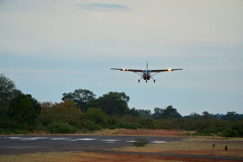
01Airborne Survey
Aerial survey missions that collect information over large, remote or difficult-to-access areas.
Read more about Airborne Survey -
 02
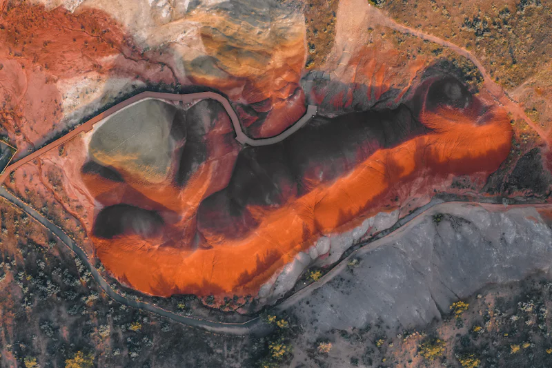
02Mining & Mineral Exploration Mapping
Aerial data for mine planning, exploration programmes and site assessment.
Read more about Mining & Mineral Exploration Mapping -
 03
03Terrain & Topographic Mapping
Elevation and surface information for planning, design and analysis.
Read more about Terrain & Topographic Mapping -
 04
04Remote Sensing & Geospatial Data
Airborne data turned into geospatial information that supports decisions.
Read more about Remote Sensing & Geospatial Data -
 05
05Large-Area & Remote-Site Survey
Aerial acquisition for extensive, remote or operationally challenging locations.
Read more about Large-Area & Remote-Site Survey
Mining & exploration
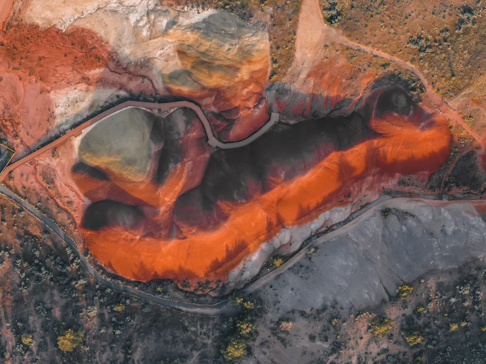
Site information for mining and exploration teams.
Aerial data gives a consistent view of large or remote sites, from early exploration to operating mines.
- Understanding large or remote licence areas
- Terrain and surface mapping for planning
- Supporting exploration and site assessment
- Repeat surveys for monitoring, where appropriate
From aircraft to decision
How aerial data becomes usable information.
Every project follows the same disciplined sequence. Deliverables depend on the agreed scope, equipment and conditions.
Define
Agree the site and the survey objectives.
Method
Establish the appropriate acquisition methodology.
Plan
Plan the mission, subject to regulatory and operational requirements.
Acquire
Fly the survey and acquire the agreed aerial data.
Process
Process the data and validate it against the specification.
Deliver
Deliver the agreed mapping products and project outputs.
Geographic focus
Headquartered in Dubai. Focused on Asia and Africa.
Dubai sits between our two target markets, with direct air links to both.

- Dubai: headquarters
- Asia and Africa: target markets
- Survey reach from Dubai
Aviation experience
Survey planning that starts with the aircraft.
Our team brings worldwide aviation experience, with extensive flying in Africa.
That experience shapes how we scope and plan work: realistic schedules for remote sites, missions planned around terrain, weather and airspace, and safety decisions made before commercial ones.
Our approach
Project enquiries
Discuss a project with our team.
Tell us about the site, the area and the information you need. We will come back to you to talk through scope, method and timing.